


Adaptive Capacity

WP 4 “Adaptive capacity” deals with the potential or capability of a system such as an urban quarter or rural community to adapt to the risk of flash floods. The perception and knowledge of the local population is analyzed to identify existing practices such as rainwater harvesting and knowledge gaps. At the same time, building on the locally available know-how, further potentials for preventing flash flood damage will be explored. This includes specific technical measures, but also further instruments in the area of behavior-effective precaution or also communication.
Sub-work packages:
Local (practical) knowledge
This sub-work package addresses the investigation and analysis of the perception of flash flood hazards by the residents as well as local (practical) knowledge including decision making for protective measures. Promising traditional adaptation measures of the past such as measures in the area of rainwater harvesting are identified and jointly assesed with local stakeholders. The aim is to identify existing practices and knowledge gaps, as well as recommendations for improved knowledge transfer to be incorporated in climate services (e.g. early warning systems). To achieve the mentioned goals, interviews with residents in urban and rural areas and focus group discussions are used to determine how local people perceive, understand and respond to flash floods and flash flood warnings.
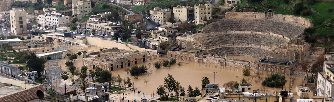
Prevention of (urban) flash flood damage
Innovative measures for the retention, safe discharge, storage and use of heavy rainfall are identified and evaluated. These measure can be related either to infrastructure, to the drainage system or to the catchment areas and they can be of technical, institutional or social nature. For areas with high land use pressure, the concept of multifunctional land use for heavy rainfall prevention serves as an interesting option. Research on further developed traditional methods from arid and semi-arid areas can help to prevent flash flood damage. For instance, potential damage can be reduced with targeted routing of surface runoff e.g. via so-called emergency waterways to areas where a lower damage potential is expected. This involves a conceptual planning approach to designate waterways and floodplains. For the joint assessment of promising adaptation measures with local stakeholders and to provide tools for local decision-making, participatory GIS methods will be tested and implemented.